Beyond Numbers: Integrating Geospatial Tools and Small Area Estimates for Effective Program and Coverage Evaluation
Oficina | Híbrido
-
Organizado por:
Research and Development Solutions
Sobre o evento
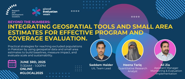
Practical approaches on going 'beyond the registered' to identify Pakistan’s excluded populations, using geospatial data to identify population sizes, and using small area estimates as comparators to create cost-effective baselines, measure program efficiency, evaluate sustainability factors, and address scaling challenges.
Orador/a
| Nome | Título | Biography |
|---|---|---|
| Syed Saddam Haider | Team Lead, Urban Impact Lab | Saddam specializes in using geospatial data for granular population estimation and pattern identification in development program implementation. He brings expertise in managing large-scale datasets and RCTs with experience in implementing dashboard tracking systems. |
| Heena Tariq | Research Analyst | Heena specializes in data quality assurance and visualization. Her work on gender-differentiated risk factors has highlighted systematic disparities in service access among marginalized populations. She has developed real-time data monitoring systems that reduced reporting times by 40%. |
| Ali Zia | Manager, M&E and Implementation | Ali leads RADS' monitoring and evaluation initiatives across Pakistan, specializing in tool development, mixed-method evaluations, and field monitoring. He brings 12+ years of experience in designing and implementing evaluations for health, education, and community development programs. |
Resumo
Our workshop demonstrated three revolutionary advances for M&E: building-level population estimation achieving 95% accuracy, Small Area Estimates enabling Union Council-level precision with 75% cost reduction, and GPS-verified digital PHC delivery reaching 450,000 people. These integrated approaches transform program evaluation from district-level guesswork to household-level certainty. The paradigm shift from "estimates to exactness" provides precise scaling roadmaps rather than yes/no program assessments. Pakistan's validation across urban slums and rural areas proves global replicability. This methodology bridges the critical gap between program ambitions and measurable population-level impact through data-driven precision targeting.
Immediate next steps include providing technical assistance packages including building enumeration protocols, SAE model specifications, and digital platform source code and, developing capacity building workshops for M&E practitioners on geospatial analysis and SAE methodologies, creating collaborative research networks for methodology validation across different contexts.