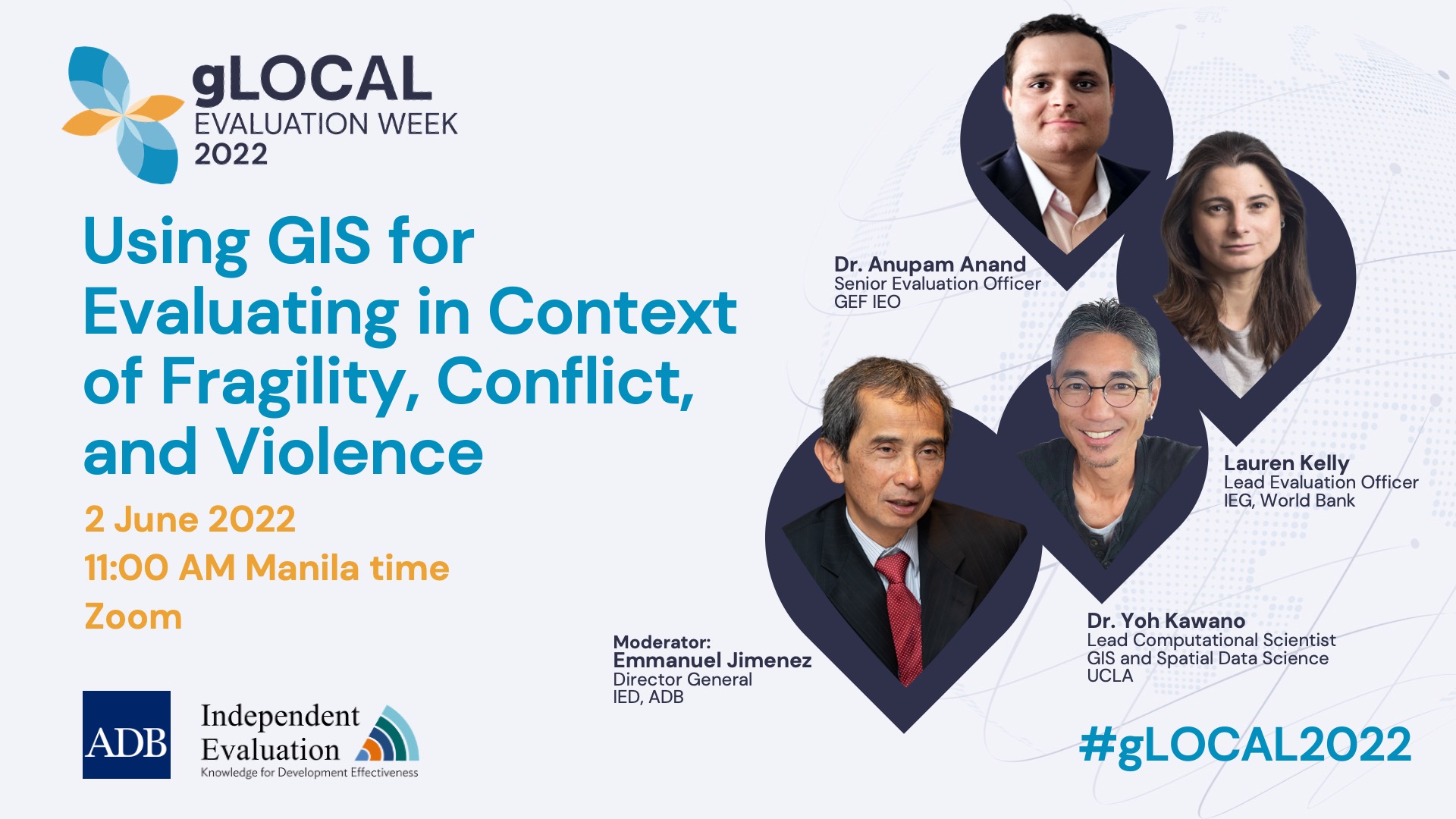
Using GIS for Evaluating in Context of Fragility, Conflict, and Violence
NA-Online
About the Event
After COVID 19 the world is unlikely to return to the way it was. Many trends already underway globally are being accelerated by the impact of the pandemic. This is especially true for innovations that reduce human-to-human contact, automate processes, and increase productivity amid social distancing. The post pandemic ‘New Normal’ will be far more tech driven.
Geographic Information System (GIS) is a framework for gathering, managing, analyzing, and visualizing geographically referenced information. The use of GIS for development planning and crisis management is well documented, however its usefulness as a tool for evaluators had gone relatively unnoticed till recently. Geospatial data are available retrospectively and remotely, which is particularly useful for evaluators working in countries with constraints on their access to data, including those caused by 5 COVID-19 Pandemic. Another advantage is that data quality is the same and comparable across countries.
Theme for 2022 gLOCAL is EvalEvolve: The Evolution of M&E in the 21st century. The theme proposes to encourage dialogue on how innovations in data collection, analysis, and use are influencing the M&E field. Independent Evaluation at the Asian Development Bank proposes to organize a panel discussion around the strengths, limitations, and future trends of GIS in evaluation with a focus on the nexus between GIS technology and evaluation in contexts of fragility, conflict, and violence.
At least one-quarter of the world’s population lives in zones affected by conflict, and almost all organizations working in international development must adapt many of their programs to the multiple challenges resulting from conflict. Despite this, the evaluation community has struggled to find ways to systematically assess how programs are affected by the multiple causes and consequences of these conflicts. The panel discussion will discuss guidance on how to adapt the evaluation toolkit to the dramatically different contexts in which projects and programs operate in conflict zones. The approach will be pragmatic, recognizing the many practical and ethical challenges facing evaluations in conflict zones, easy to follow and comprehensive. The exciting contributions of geospatial analysis will be at the heart of the discussion.
Speakers
| Name | Title | Biography |
|---|---|---|
| Anupam Anand | Senior Evaluation Officer | Dr. Anand has over 15 years of experience in evaluation, international development, academic research, and teaching. At the GEF-IEO, he has led evaluations on biodiversity, SFM, land degradation, and fragility and conflict. He has a PhD. in Lidar remote sensing from the University of Maryland. |
| Lauren Kelly | Lead Evaluation Officer | Lauren Kelly oversees the thematic evaluations for the Sustainable Development and Infrastructure Global Practices of the World Bank. She has over 20 years of international evaluation experience and has led multiple influential evaluations including conflict management. |
| Dr. Yoh Kawano | Lead Computational Scientist | Yoh Kawano is a Lead Computation Scientist for GIS and Spatial Data Science at UCLA. He has been conducting spatial research on the ongoing nuclear crisis in Japan, and as a filmmaker, continues to collect oral histories in Fukushima. |
Summary
After COVID 19 the world is unlikely to return to the way it was. Many trends already underway globally are being accelerated by the impact of the pandemic. This is especially true for innovations that reduce human-to-human contact, automate processes, and increase productivity amid social distancing. Geographic Information System (GIS) is a framework for gathering, managing, analyzing, and visualizing geographically referenced information. The use of GIS for development planning and crisis management is well documented, however its usefulness as a tool for evaluators had gone relatively unnoticed till recently.
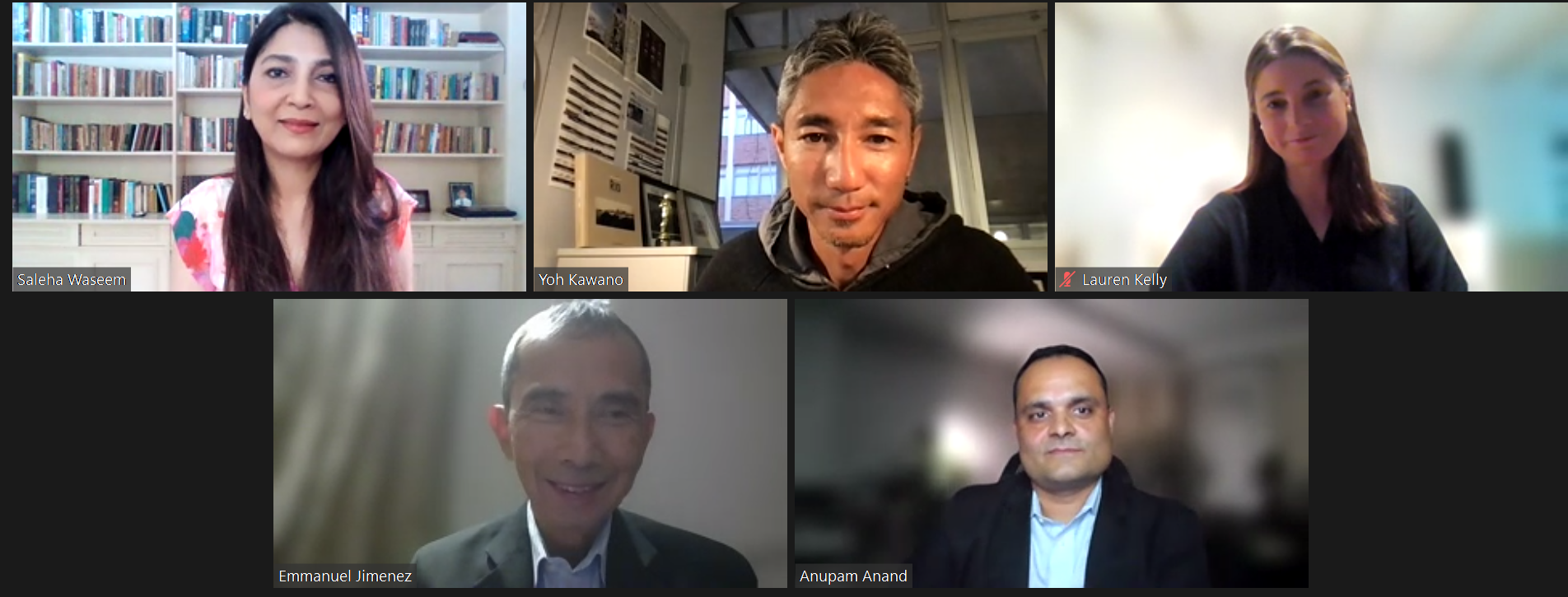
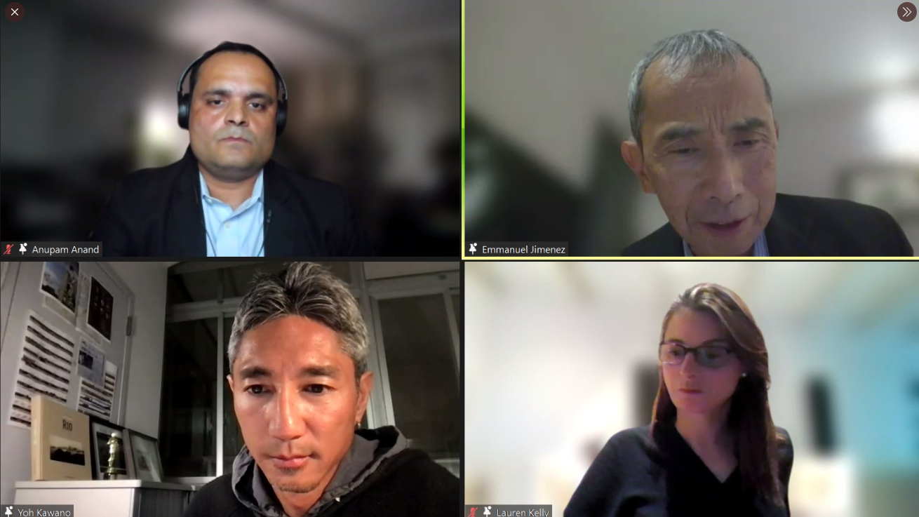
This one-hour panel discussion titled Using GIS for Evaluating in Context of Fragility, Conflict, and Violence was designed to convey essential concepts of GIS with a focus on remote sensing and how such technologies can be used in situations of fragility. It offered an introduction to key ideas about the technology’s capacities and limitations and then focuses on specific types of earth observation services that can prove useful in projects focusing on development, disasters, environmental resources, and conflicts.
Moderated by Emmanuel Jimenez, IED Director General, panelists discussed (i) ways to strengthen the use of GIS in the context of the evaluations in FCV situations (ii) need for satisfactory guidelines in place to protect vulnerabilities of communities and individuals from where the data is collected. Maps, and data can make communities or individuals in FCV’s vulnerable to a variety of abuse or misuse (iii) how can GIS help development agencies promote SDGs in FCV’s (vi) recognition that despite several advantages, GIS has experienced limited uptake, largely due to a lack of training and a lack of accessibility. How can this gap be satisfactory addressed and (vii) how do the panelists see the future of GIS technology for evaluators in fragile, conflict and disaster areas.
Panelists agreed that great opportunities exist at the nexus of GIS technology and evaluations and GIS technology can be used to enhance evaluation practice in fragile, conflict and violent situations.
ADB-IED will continue to ramp up its use of GIS for its evaluations. IED will also continue to encourage dialogue on how innovations in data collection, analysis and use can positively influence evaluations and continue to meet current realities and future needs
Image Gallery
Links
- https://twitter.com/adbevaluation/status/1532211718251634688
- https://twitter.com/LAKelly01/status/1532215282608943105?s=20&t=ZrJjb4Rh7LWfWPfT0p_AbA
- https://www.linkedin.com/feed/update/urn:li:activity:6938303014776512512
- https://twitter.com/adbevaluation/status/1532200409674108928?s=20&t=ZrJjb4Rh7LWfWPfT0p_AbA